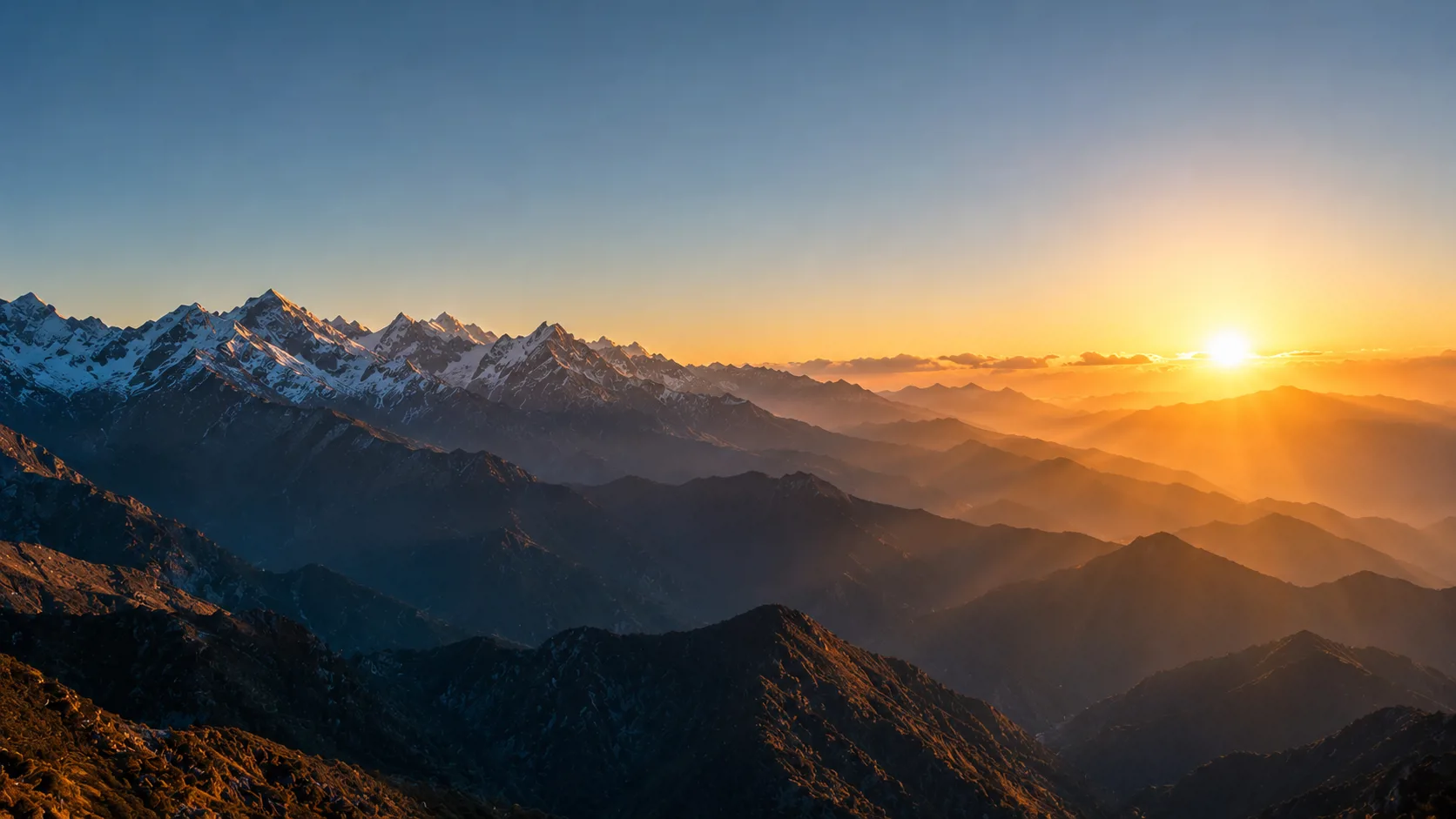
Long before lines were drawn on Himalayan watersheds, this land lived in the Indic imagination. This essay argues a clear thesis — that Arunachal Pradesh is rightfully and inalienably Indian — but rests its factual spine on materials China itself cannot easily dispute: the 1914 Simla Convention and the McMahon Line maps, the documented history of Tawang's monastic ties versus Lhasa's secular authority, the datable record of when Beijing's claim hardened, China's own renaming lists, and the lived testimony of Arunachal's people.
One correction at the outset, in the service of credibility: the name Arunachal Pradesh — Sanskrit for "land of dawn-lit mountains" — is modern, coined when the territory became a Union Territory on 21 January 1972 (a full state in 1987). It is not an ancient toponym. What is ancient is the civilizational reality the name expresses.
The Ancient Land: Roots Older Than Any Border
The region appears in the Kalika Purana and is associated in tradition with the Mahabharata — a sacred mountain country of sages, with the Pandavas held to have passed through during their exile, and with figures such as Parashurama, Krishna, and Vyāsa. The lower Lohit valley carries the legend of Parashurama Kund, a pilgrimage site drawing Hindu pilgrims to this day. The Brahmaputra, one of the holiest rivers of the subcontinent, descends through this terrain, lending it Vedic resonance.
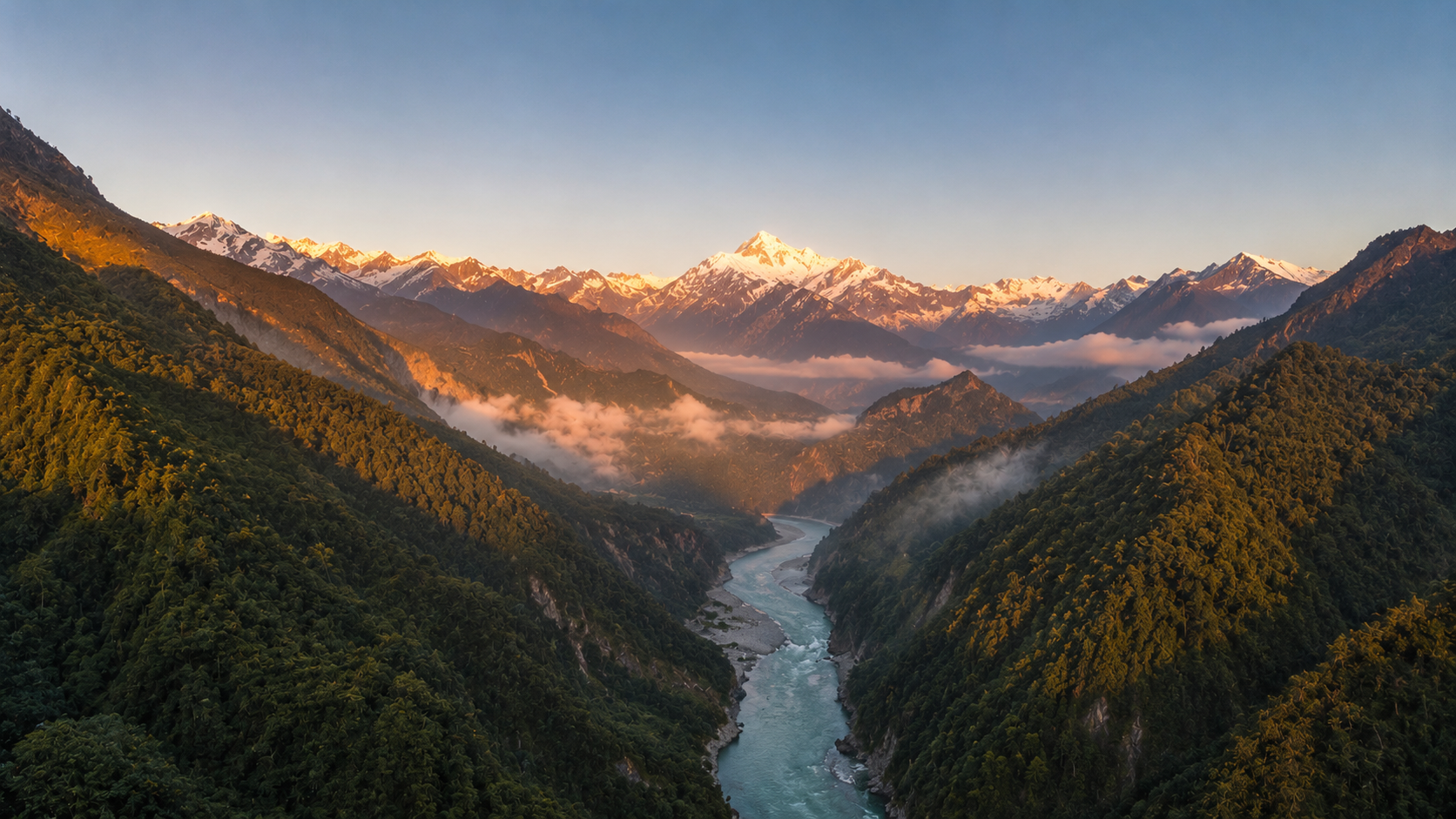
The Brahmaputra and its tributaries descend through Arunachal, lending the land its Vedic resonance.
The cultural fabric is best read as an indigenous Himalayan expression of a wider Indic world. Arunachal is home to dozens of tribal communities — the Adi, Nyishi, Apatani, Galo, Mishmi, Tagin, Monpa, Wancho — speaking Tibeto-Burman languages. Many of the central-belt Tani tribes follow Donyi-Polo, an indigenous faith whose name means "Sun-Moon": the Sun (Donyi) and Moon (Polo) as the twin witnesses of the moral order. That a Sun-revering people lives in the "land of the rising sun" is not a colonial coincidence but a genuine cultural resonance. The point that matters for the dispute: Arunachal's peoples were never Han Chinese, nor subjects of the Chinese state.
The Frontier Through the Ages
Pre-modern control of this frontier was exercised, where any lowland power exercised it, from the Assam side. For roughly six centuries the Ahom kingdom (1228–1826) governed the Brahmaputra valley and managed the hill tribes through structured relations. At the duars, hill communities came to trade, and many received an annual payment, posa, in a settled arrangement with the plains rulers. Tellingly, for some tribes posa persisted even after 1947 — a thread of administrative continuity from the Ahoms to the Republic of India. There is no comparable record of effective administration radiating from the Chinese heartland into these valleys.
Tawang: The Hard Case, Examined Honestly
China's strongest-sounding argument concerns Tawang, birthplace of the sixth Dalai Lama and home to a major 17th-century monastery affiliated with the Gelug school. Because the Monpa were Buddhist and the monastery had ties to Lhasa, Beijing argues the region was "Tibetan" and therefore Chinese. The honest answer concedes the religious tie and dismantles the political inference.
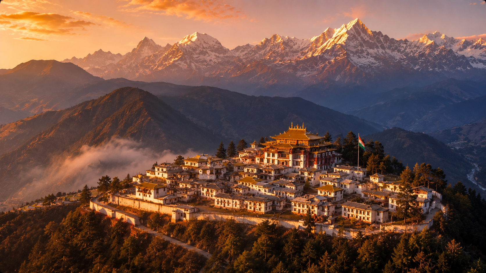
Tawang Monastery, Arunachal Pradesh, at first light — the Buddhist heart of the eastern Himalaya, under the Indian flag. Religious ties to Lhasa were ecclesiastical; sovereignty has never been Chinese.
The monastery's relationship to Lhasa was ecclesiastical and fiscal within a Buddhist order — not the administrative sovereignty of a Chinese state. A church's reach does not redraw a country's border. And China's claim requires a second leap: that Tibet was a part of China with standing to transmit sovereignty. Yet in 1914 Tibet acted as an independent treaty-making party — and if it was independent enough to be "Tibetan," it was independent enough to settle its own frontier with British India. China cannot have it both ways.
The Legal Spine: Simla, 1914, and the McMahon Line
The modern boundary was fixed at the Simla Convention of 1913–14. Three parties attended: British India, Tibet, and the Republic of China. The frontier proposed by Sir Henry McMahon followed the principle of the highest Himalayan watershed and was recorded on maps exchanged between the British and Tibetan plenipotentiaries. It placed Tawang and the territory south of the crest on the Indian side.
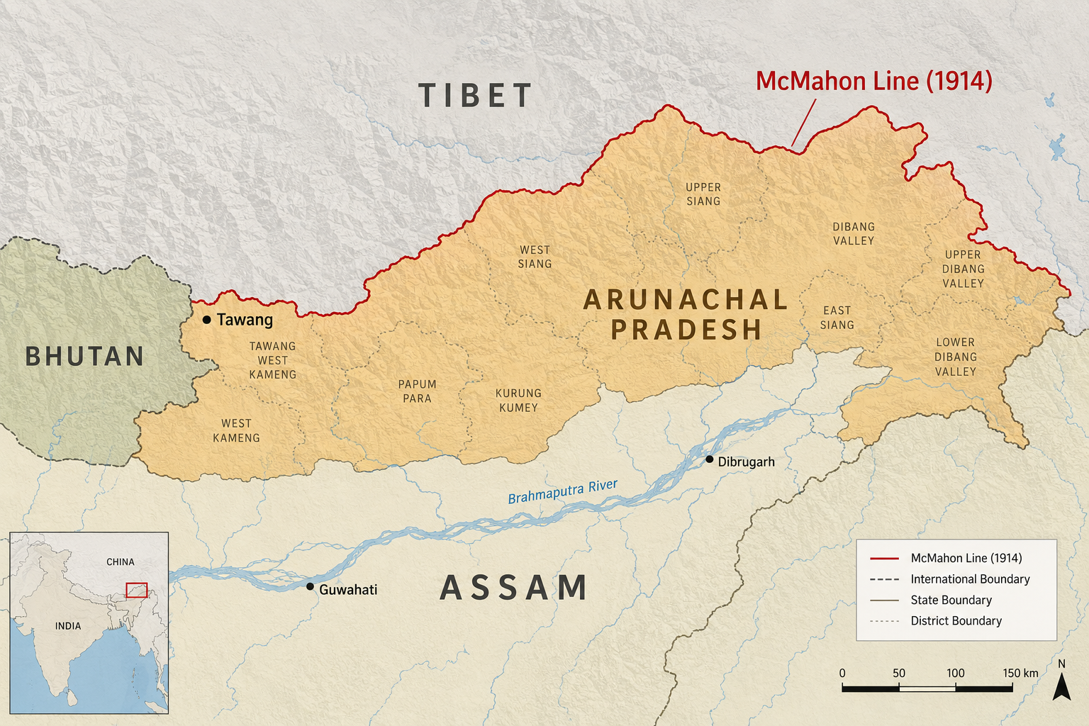
The McMahon Line, agreed at the 1914 Simla Convention, places Tawang and all territory south of the Himalayan crest on the Indian side.
The crucial facts: Tibet and British India agreed to and marked the line; China's representative attended but did not ratify — its objection was originally about the inner/outer Tibet boundary, not the McMahon Line; and in 1947 the Tibetan government itself raised territorial questions about districts south of the line, implicitly treating it as the frontier. India's position rests on the treaty basis, on uti possidetis juris (newly independent states inherit predecessor boundaries), and on effectivités (actual, continuous administration, which international law privileges over mere historical assertion). By each measure India's title is strong and China's weak.
When Did China Actually Start Claiming It?
A decisive, often-missed point: China's claim is not ancient — it is a modern, shifting construction. Through the 1914–1950s period the dispute concerned Tibet's status, not a Chinese claim to the territory south of the line. After 1950 the PRC rejected the McMahon Line as a "product of British aggression," but its polemic focused on the division of Tibet. In 1962 China overran NEFA and then withdrew behind the McMahon Line — implicitly acknowledging it. Only after 2003 do analysts identify a marked hardening, with Beijing systematically advancing a claim to the whole of Arunachal, repackaged as "Zangnan" (South Tibet). That the claim sharpened four decades after the boundary was drawn, and a generation after China withdrew behind it, is among the strongest indictments of its legitimacy.
“Zangnan”: Cartographic Aggression by Press Release
Lacking control on the ground, Beijing wages the claim on paper. China claims roughly 90,000 square kilometres and has repeatedly issued lists "standardising" Chinese and Tibetan names for Arunachali places — six in April 2017, fifteen in December 2021, eleven in April 2023, thirty in 2024, with further additions in 2025; by tally, dozens of locations renamed since 2017. India's response has been consistent across governments: the Ministry of External Affairs dismisses each round as "senseless," "vain and preposterous," and "fictitious," repeating that "assigning invented names will not alter the reality that Arunachal Pradesh was, is, and will always be an integral and inalienable part of India."
The People's Verdict: Who the Arunachalis Say They Are
If sovereignty rests on the will of the governed, the question answers itself. Arunachalis overwhelmingly identify as Indian, and have experienced China's claim as an insult. The clearest evidence is China's "stapled visa" policy, adopted in 2005: Beijing issues residents of Arunachal a loose, stapled visa rather than a stamp, on the logic that it cannot give a "foreign" visa to people it deems Chinese. India has never accepted these, because doing so would concede that Arunachalis are not Indian.
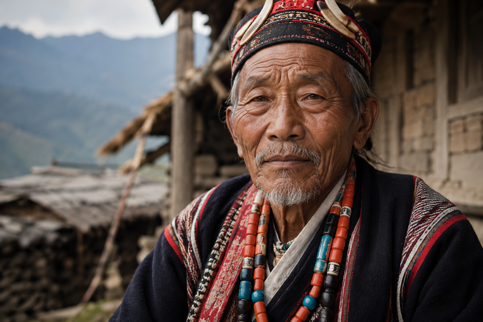
An elder of the eastern Himalaya — Arunachal's indigenous peoples are of the Indic civilizational world, never governed from Beijing.
The policy has produced public humiliations borne by ordinary Arunachalis: two archers issued stapled visas in 2013; three wushu athletes — Nyeman Wangsu, Onilu Tegam, and Mepung Lamgu — effectively barred from the 2023 Asian Games when China stapled their visas; and in November 2025 an Arunachal-born woman, Prema Wangjom Thongdok, detained some eighteen hours at Shanghai's airport. There is no measurable secessionist or pro-China sentiment in Arunachal; the territory sends members to the Indian Parliament, votes in Indian elections, and insists on its Indianness in the face of Beijing's pressure.
An Inalienable Frontier
Stand the strands side by side and the verdict is not close. History: an indigenous people of the Indic civilizational world, governed for centuries from the Assam plains. Culture: a Sun-and-Moon-revering, Brahmaputra-watered land woven into the Purāṇic imagination. Law: a 1914 treaty frontier inherited under uti possidetis and backed by overwhelming effective control. The claim's own history: a maximalist Chinese position that did not exist in its present form until after 2003 — manufactured, not inherited. And the people: Arunachalis who answer Beijing with a firm declaration that they are, and will remain, Indian.
China can rename the dawn-lit mountains in Mandarin from a ministry two thousand kilometres away. It cannot change which country's sun rises first over them, nor whose people stand beneath them to greet it.
Simla Convention, 1913–14, and the McMahon Line maps (primary documents); the 1947 Tibetan note on districts south of the line.
Post-2003 hardening of the claim — analyses of Chinese-language sources (Tibet Policy Institute).
International-law principles — uti possidetis juris and effectivités (boundary-law literature).
Renaming lists (2017, 2021, 2023, 2024, 2025) and MEA rejections — Indian government record; Indian and international press.
Stapled-visa episodes (2005 policy; 2013, 2023) and the 2025 detention — contemporary reporting, incl. The Arunachal Times.
Ethnographic record — fieldwork of Christoph von Fürer-Haimendorf (1940s–1960s).